

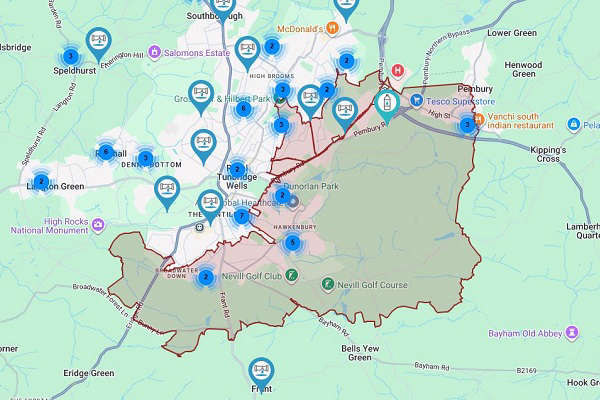
Covering Wednesday and Thursday in West Kent
The Met Office is predicting heavy showers, perhaps thundery, are possible in places on Wednesday night into Thursday morning and have issued a yellow weather warning across West Kent and the southeast.
What should I expect?
- Spray and sudden flooding could lead to difficult driving conditions and some road closures
- Where flooding or lightning strikes occur, there is a chance of delays and some cancellations to train and bus services
- There is a slight chance that power cuts could occur and other services to some homes and businesses could be lost
- There is a small chance that homes and businesses could be flooded quickly, with damage to some buildings from floodwater, lightning strikes, hail or strong winds
- There is a small chance of fast-flowing or deep floodwater causing danger to life
Source: Met Office
 Water Treatment Plant Failure
 Planning Permission for New Angel Centre
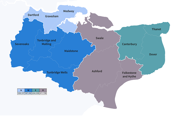 New West Kent Council Confirmed
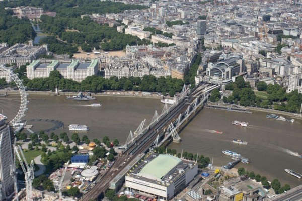 London Rail Stations Set To Close For 22 Days
 Royal Victoria Place's Palm Court Transformation
 Hosepipe Ban announced in Kent
 South East Water Announces New CEO-Designate
 Local Neighbourhood Development Plan Approved